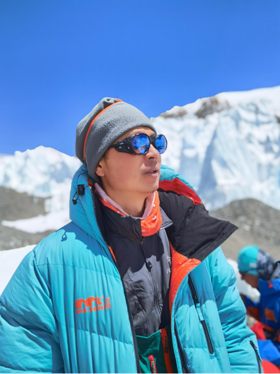
(On June 3rd, 2020, after finishing his field work with a joint team measuring Mount Everest, Prof. CHEN, Gang came back to Wuhan. The editor of http://en.cug.edu.cn interviewed Prof. CHEN on June 7th. The following is the interview script.)
Q: Please briefly introduce the “measuring Mount Everest expedition”
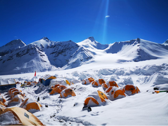
A: This joint expedition team was organized by The First Land Measurement Team (a subsidiary of the Ministry of Natural Resources) and the national mountaineering team. Training for the expedition started in mid-January in Beijing, and moved on to a training camp in Tibet and Base Camps until end of April, when the expedition began. On May 27th, eight members from the joint team successfully reached the peak of Mount Everest and finished measuring work. Besides myself, there are two other CUG colleagues, and nine CUG alumni in the joint team.

Q: Did the COVID-19 pandemic affect the expedition?
A: Of course. The pandemic halted normal economic activities in late January. You know that everything, including food and oxygen, has to be brought and carried into Base Camps. We needed to work hard to get enough supplies for the whole time when we were in Tibet. We had to seek outside help to find supplies. And in order to prevent COVID-19 pandemic from our camp, we need to do a lot of extra work.
Q: This is the most frequently asked question: why do we need to send human beings to be on the top of Mount Everest to measure it? Don’t we have satellites, airplanes and drones to do just that?
A: Yes. Remote Sensing Satellites, airplanes, drones, and even traditional optic equipment all can be used to measure Mount Everest. The key difference between these different methods is accuracy. When we put a signal receiver on the peak of Mount Everest, we can control the error of measurement under a few centimeters, compared with a few meters when using Remote Sensing Satellites. Second issue is that we need to consider the thickness of ice and snow on the peak. Third reason is that we do not just climb onto the top of Mount Everest to collect data to measure the height only, we also collect data for other research purposes, such as environment change, glacier, and climate change etc. The expedition is multipurpose.

Q: What was the most difficult part of the expedition?
A: It’s the weather. It is totally unpredictable. Before May 27th, we had two failed attempts to reach the peak of Mount Everest, due to heavy snow and wind when we got near to the peak. Sometimes, you can witness four seasons in one day.
Q: What have you achieved from the expedition?
A: Invaluable data. We have collected a lot of data about geometric measurement, physical measurement, meteorological element measurement of Mount Everest. As the third pole of the Earth, Mount Everest is an inevitable research topic when you study continental drift, climate change, and sea-level change. During the expedition, we tested a few pieces of domestically made equipment, such as gravimeter and snow depth sensor. We also tested BeiDou Navigation Satellite System on the peak of Mount Everest.
Q: What do you want to share with your students from the expedition?
A: First, respect nature. If you put what we have achieved as human beings into billions of years of history of nature, it is nothing. We should be humbled.
When we talk about the expedition, most people just want to know about reaching the peak of Mount Everest. But that is just a small part of the endeavor. Before that we have to repeat dozens of times in weeks to test and calibrate the equipment. Besides mountaineering skills and experience, we also rely on years of training in our specialties, local data collections, and systematic support from other sectors such as airspace, aviation, and telecommunication.
Q: You have also participated “7+2 expeditions” in the past years. Could you please tell us more about these expeditions?
A: “7+2 expeditions” is a series of scientific expeditions to the summits of seven continents plus the North Pole and the South Pole organized by CUG. The environment of the Earth can be broadly divided into four major systems: the atmosphere, hydrosphere, lithosphere, and biosphere. Surveying the changes of the summits of seven continents plus the North Pole and the South Pole is very important for us to understand the changes of the global atmosphere, hydrosphere, and lithosphere, and the interactions between the spheres and between the three mentioned spheres and us (part of the biosphere). I have participated in expeditions to the summits of five continents and both the North Pole and the South Pole.
Q: what do you want to say to prospective CUG students?
A: If you care about the Earth and are interested in climate change, sea-level change, or environmental science, you should choose CUG to continue your study. CUG is the only institution that offers all the subjects related to the above-mentioned topics.
CUG is dedicated to a strategic plan, themed on “a Beautiful China & a Habitable Earth”, with “building a world-renowned research university in the field of Earth Sciences” by 2030 as the goal. We are expecting more young people with earth consciousness to join us for our great cause.
A brief CV of Mr. CHEN, Gang
Professor of Surveying, Vice Dean of School of Marine Science and Technology
Educational Background:
· Bachelor of Engineering Surveying, Wuhan University, 1991
· Master of Engineering, CUG, 2002
· PhD in Remote Sensing of Earth Resources and Environment, CUG, 2008
Research Interests:
· Theories and techniques of geodesy
· Geological disaster monitoring
· Application of marine exploration and information technology
Email: ddwhcg@cug.edu.cn